
Drone & Ground Surveying · Worcester, Western Cape
Know what's on site before you sign the payment certificate.
Independent, survey-grade measurements for contractors, quantity surveyors, engineers and mine managers: earthworks and stockpile volumes, dated orthophotos, as-built checks and ground control. RTK drones and the same Trimble and Emlid kit a conventional survey crew uses. SACAA licensed, based in Worcester, working nationwide.
Instant estimate online — a formal quote follows after a quick scope review.
Trusted by industry leaders






What it fixes
Nobody buys a point cloud for its own sake. These are the questions we get called about, and the measurement that settles each one.
Paying for earthworks you can't see
Cut, fill, platform and layer volumes measured against the design surface before the payment certificate goes out, not after the final account.
Deliverable
Volumes report, surface model and DWG
Earthworks volumes →Bill quantities that don't match the site
A dated orthophoto and surface model is an independent record of what was built, and when. Compare it with the bill, the site instructions and the claim.
Deliverable
Georeferenced orthophoto, DTM and comparison
Progress records →Stockpile numbers nobody agrees on
Independent stockpile measurements for month-end, reconciliation and material disputes. The same method every month, so the numbers can be compared.
Deliverable
Per-pile volumes with a PDF report
Price a stockpile survey →Design versus what was actually built
As-built surfaces and features checked against the design. Discrepancies are flagged on a drawing your engineer can open, not buried in a point cloud.
Deliverable
Survey pack with contours, LAS and CAD export
Price a survey pack →Progress evidence for the client, QS and funder
Scheduled flights from the same positions every visit, with a side-by-side comparison. Evidence for certificates and board packs without a site visit.
Deliverable
Monthly map, photos, 4K video and archive
Scheduled progress tracking →What the drone can't see
Under tree canopy, inside structures, culverts and basements. A handheld LiDAR scan is merged with the aerial survey into one point cloud, and our GNSS crew sets out and checks control on the ground.
Deliverable
Ground LiDAR scan, setting out and control
Price a LiDAR scan →Not only drones
Ground survey, setting out and earthworks control
The drone is one instrument in the bag. Our crew runs Trimble R750/R780 GNSS with Siteworks for setting out and grade checks, Emlid RS3 for ground control, a CHCNAV RS10 handheld LiDAR for what the aircraft can't see, and Civil Designer for the quantities. One supplier for the survey component of the job, from first peg to final account.
Setting out and construction control
Platforms, roads, drains, structures and services, with grade checks on the day.
Bulk earthworks and layerworks volumes
Cut and fill against design, monthly and project-to-date, with a report for the certificate.
Stockpile and quarry volumes
Independent monthly measurements for reconciliation and month-end.
As-built verification
Surfaces and features checked against design, discrepancies on a drawing.
Ground control and accuracy reports
Permanent GCPs, RTK checks and a signed accuracy statement for disputes.
Handheld LiDAR scanning
Structures, culverts, basements and under-canopy areas merged into one point cloud.
The deliverables behind it
Survey-grade, georeferenced, and ready to drop into your CAD, GIS, or BIM workflow. These are the files; the sections above are what they are for.
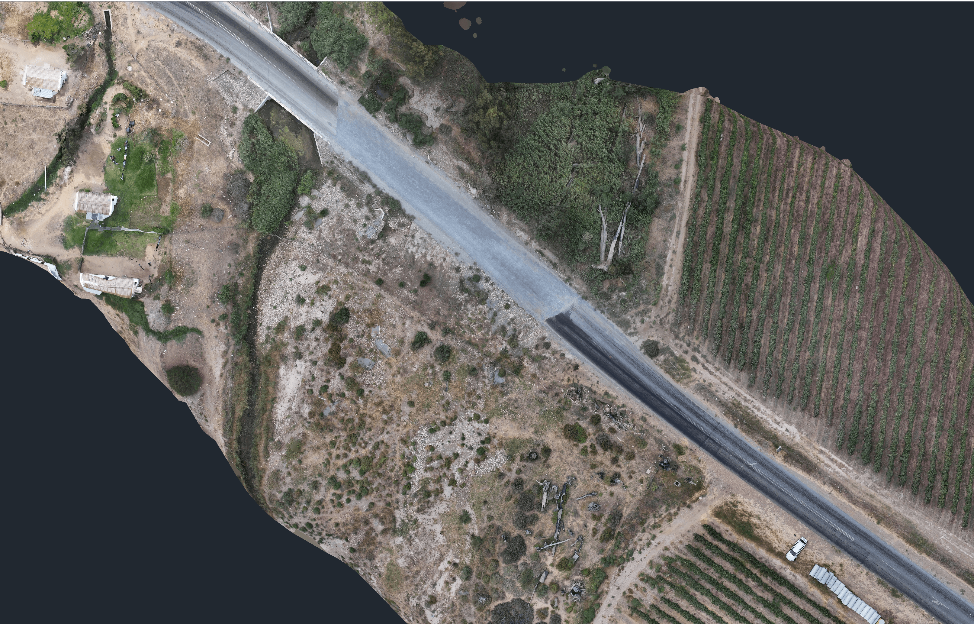
Orthomosaic Mapping
High-resolution, georeferenced aerial maps of your entire site — distortion-free and survey-grade.
Learn more →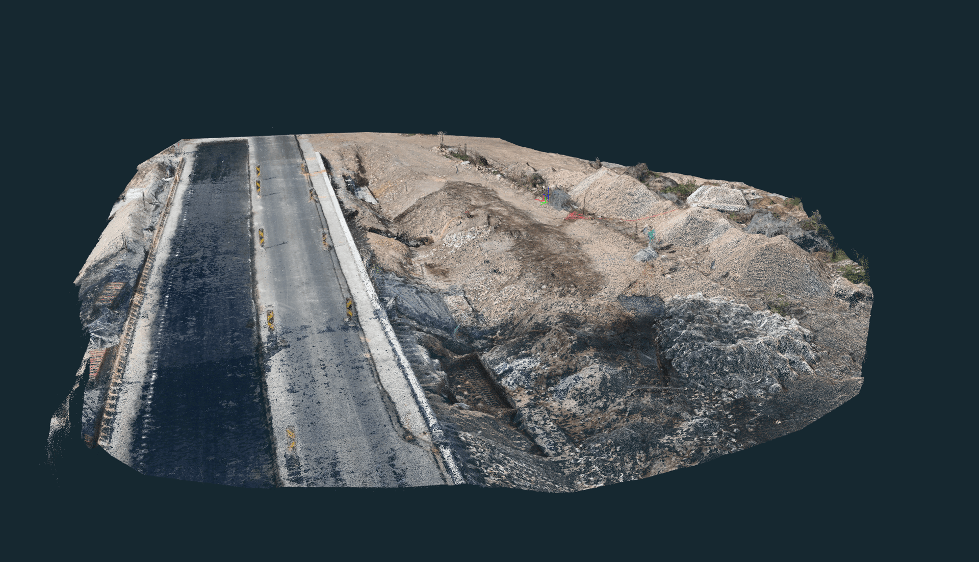
Point Cloud Surveys
Dense 3D point clouds (LAS/LAZ) for measurement, design, and CAD/BIM integration.
Learn more →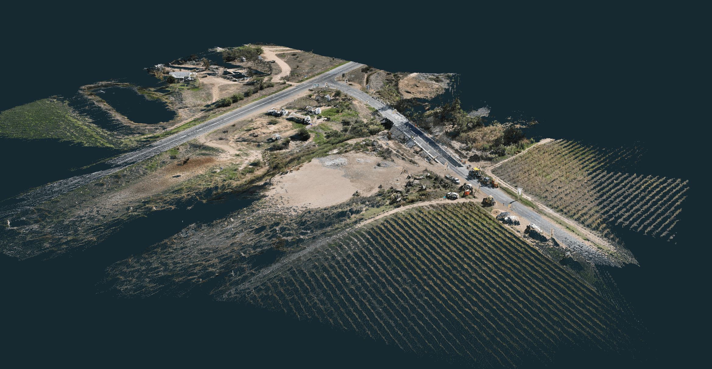
3D Digital Models
Photorealistic textured 3D meshes for visualisation, planning, and stakeholder presentations.
Learn more →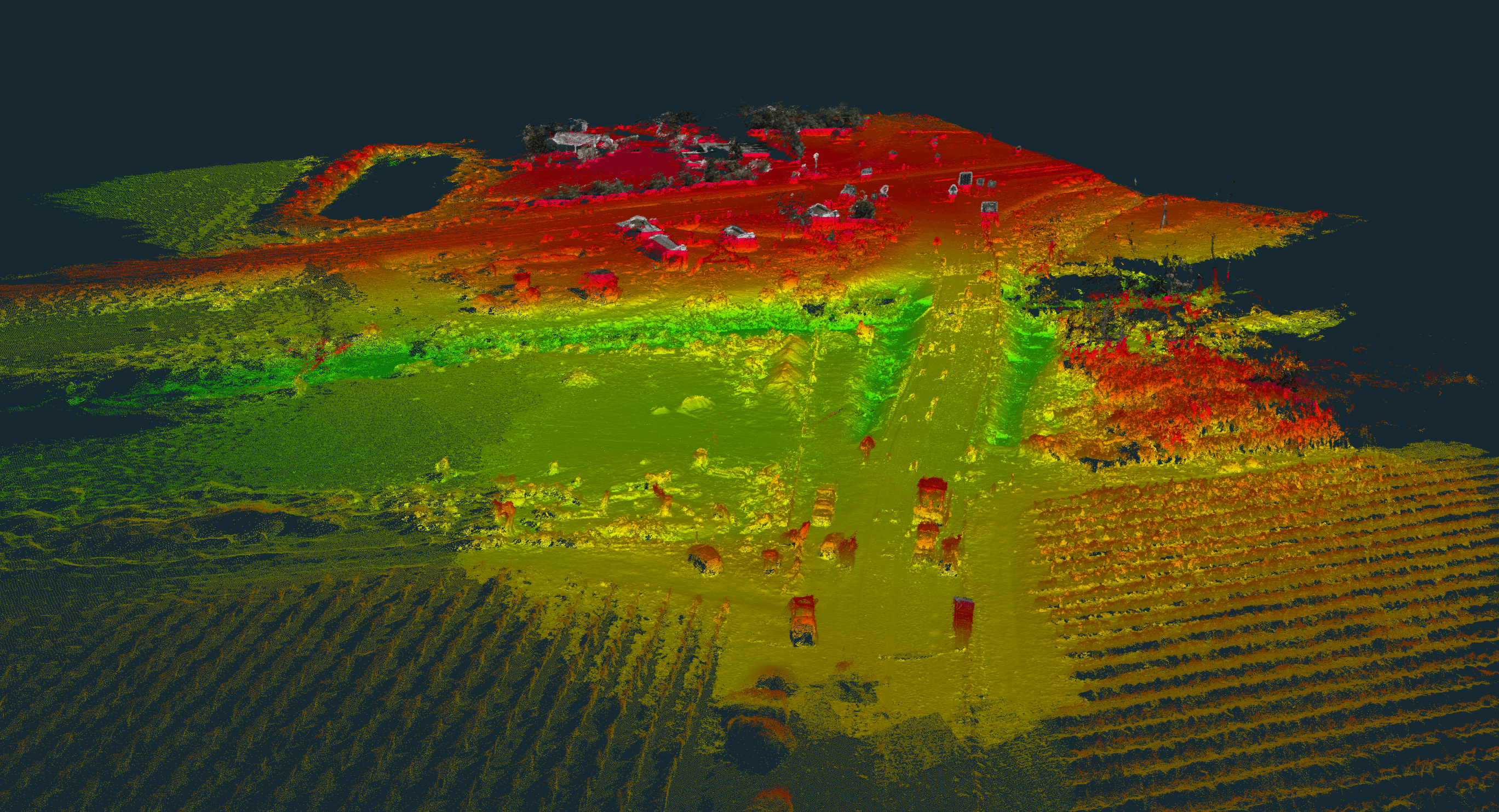
Topographic Surveys
DSM, DTM, and contour line maps for design, drainage, and engineering workflows.
Learn more →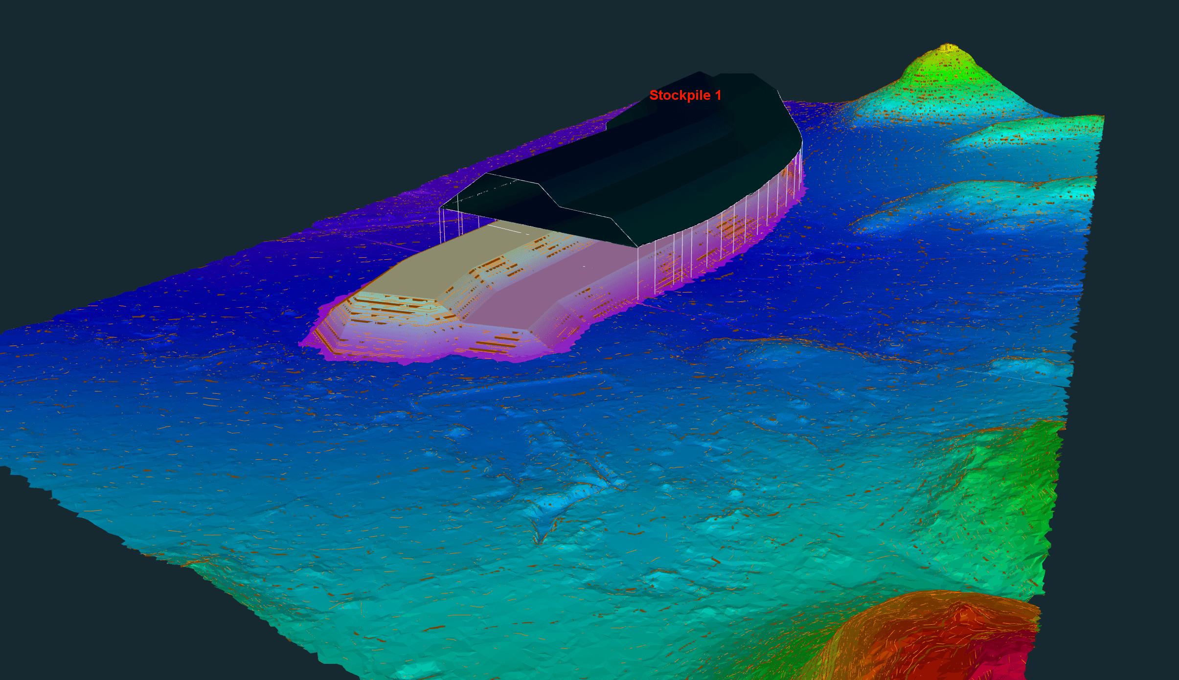
Volume Calculations
Earthworks, stockpile, and cut/fill volumes — ideal for quantity verification and disputes.
Learn more →Progress Tracking
Scheduled aerial photography, 4K video, and orthomosaics to document construction progress over time.
Learn more →How a drone survey works
A typical project takes one to five working days from booking to deliverables, depending on site size and the data you need.
01
Scope & Quote
Trace the site in our online estimator or send coordinates. We confirm scope and issue a formal quote.
02
Plan & Permit
Flight plans, airspace clearance, and ground control points are prepared. SACAA compliance handled by us.
03
Field Capture
RTK drone flights collect imagery and ground truth. Typically one to two days on site, without stopping the works.
04
Process & Deliver
Data is processed into orthophotos, surfaces, volumes and reports. Delivered via secure link or your portal.
Industries we serve
The problem is different in each sector. The measurement that settles it is the same.
Why choose Techno Survey Solutions
Surveyors, not just pilots
The same crew does GNSS setting out, earthworks volumes and the drone capture. You get one measurement that stands up, not a pretty picture.
Survey-Grade Accuracy
RTK-corrected flights with ground control achieve 1–3 cm horizontal and 2–5 cm vertical accuracy, with an accuracy report when you need one.
SACAA Licensed
Fully licensed Remote Operator Certificate (ROC: SACAA.UASOC.0001.2004/G1240D). Compliant, insured, and audit-ready.
Fast Turnaround
Most deliverables ready within 3–5 working days of field capture. Based in Worcester; we mobilise across South Africa.
Project work
Two published projects. We publish a case study once the client has signed it off; ask us for references in your sector.
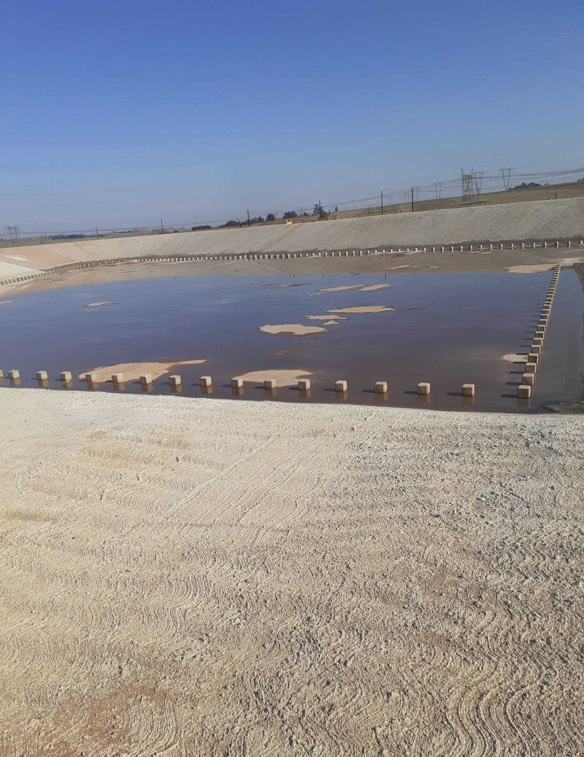
R1.2b Kendal Platform Earthworks & Infrastructure
Survey control, platform earthworks and layerworks quantities, dam cut-and-fill and drainage on a R1.2 billion infrastructure project.
Worcester Flood Damage Repair & Road Resurfacing
Aerial survey and 3D modelling to support the reconstruction of flood-damaged road and stormwater infrastructure near Worcester.
Get an independent measurement before the next certificate.
Trace the site and get a price in under two minutes. No obligation — a formal quote follows after a scope review.