
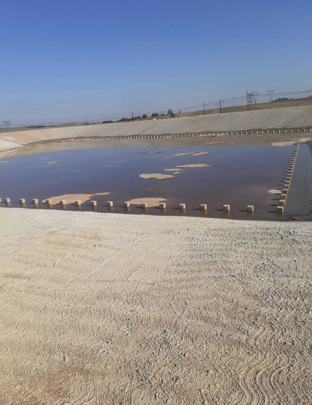
Your site mapped, photographed and measured every visit — from R6 450 a visit.
An updated orthophoto of the whole site, fixed-point progress photos and 4K video, a side-by-side comparison with last time, and stockpile / cut-and-fill volumes when you need them. Evidence for payment certificates, client reports and disputes — without stopping work.
No payment online — you get a price now, we confirm scope and a date within one working day.
What you get
Everything is delivered digitally by secure download link, with an online viewer you can share.
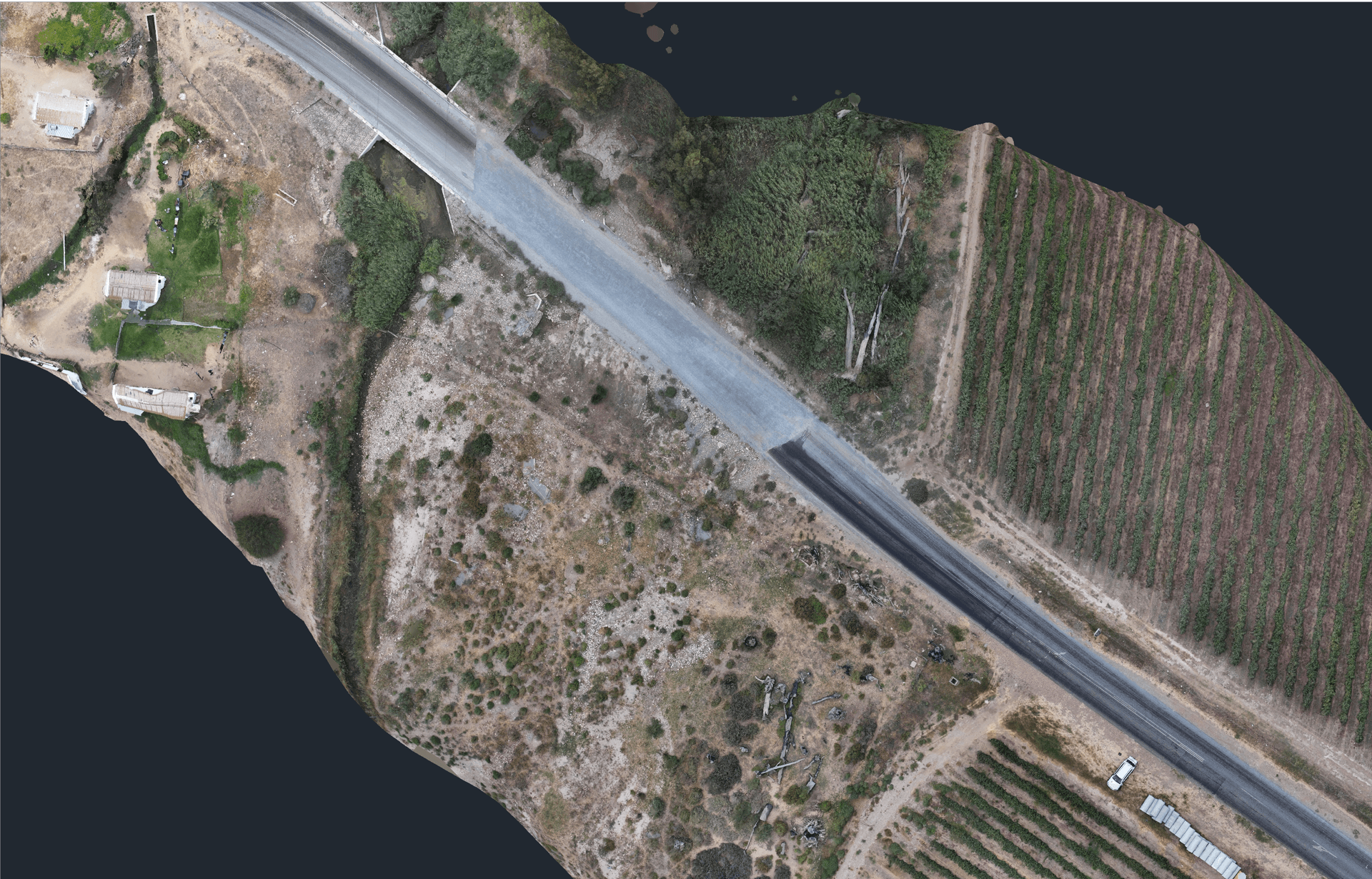
Updated site map every visit
A georeferenced orthophoto of the whole site (GeoTIFF plus an online viewer you can share with the client and the QS), with a surface model behind it for levels and measurements.
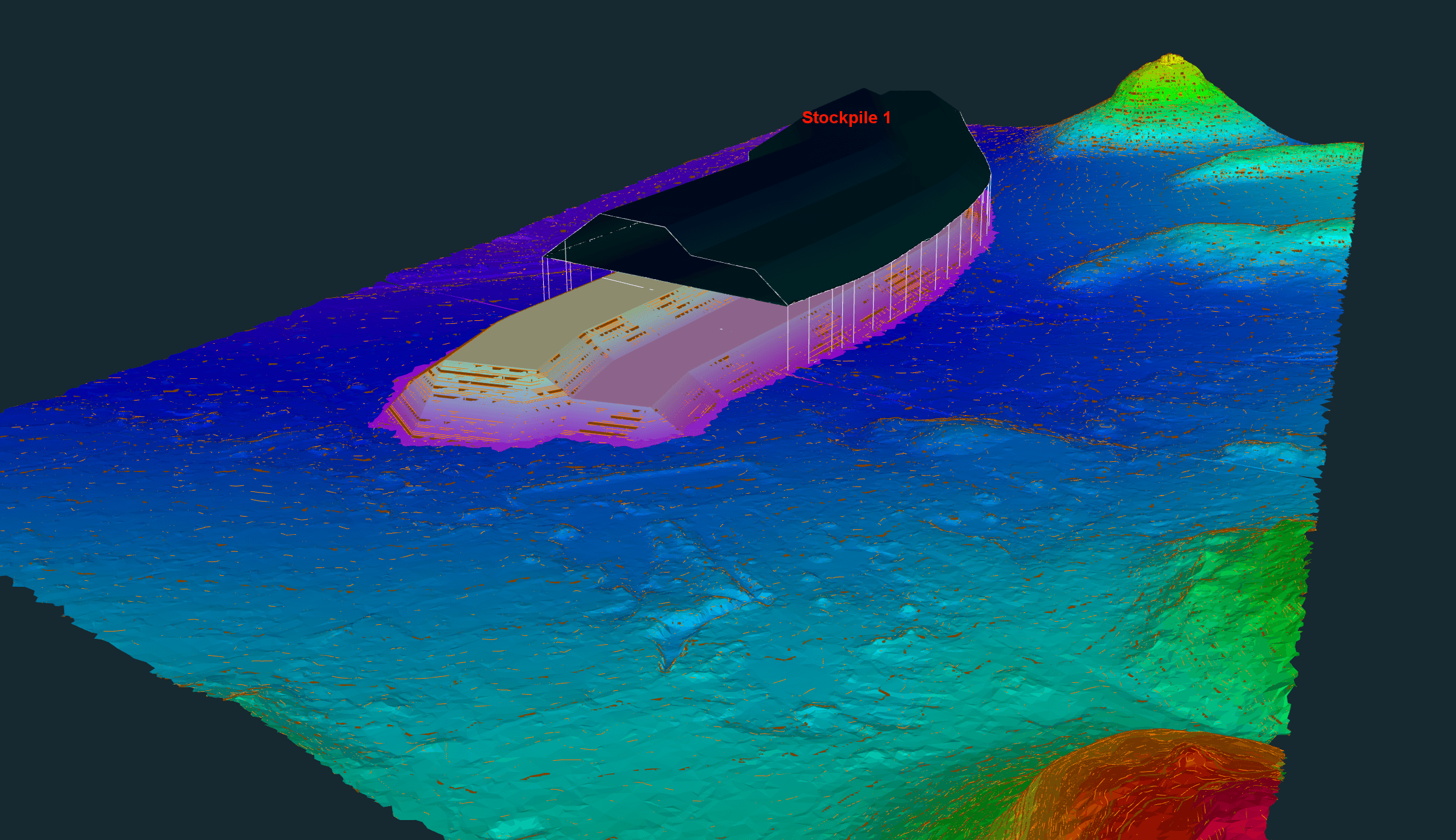
Stockpile and earthworks volumes
Stockpiles, cut and fill against the previous surface or the design, in a short PDF with the numbers your payment certificate needs. Survey-grade (1–3 cm) with ground control when it has to stand up in a dispute.
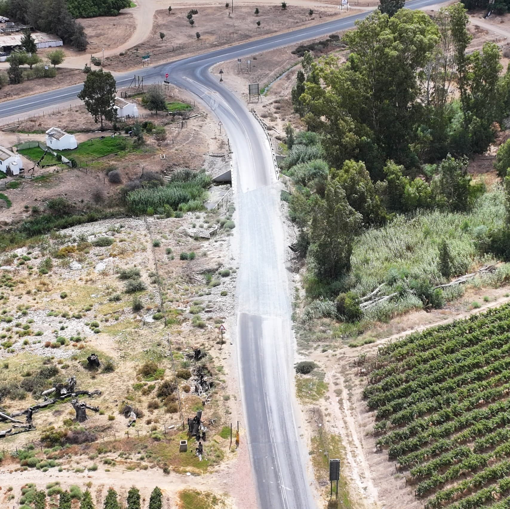
Progress photos and video from saved positions
The same camera positions every flight, so month-on-month comparisons line up. Plus a 60-second branded reel the client can forward.
Side-by-side comparison and archive
Each visit compared with the last one, a one-page progress summary, and a cloud archive of every flight for the life of the project.
Who uses this
Contractors & site agents
Monthly evidence of progress and quantities, in the format the client's QS already uses.
Quantity surveyors
Measured volumes and dated orthophotos behind every certificate — no more arguing about the stockpile.
Developers & project managers
A shareable map and video for board packs and funders, without a site visit.
Engineers
Surface models, contours and CAD exports for as-builts, earthworks balance and design checks.
How it works
- 1
Trace the site, pick a rhythm
Outline the site on the satellite map, choose monthly, fortnightly or weekly, and see the per-visit price with travel included. Request a start date — no payment yet.
- 2
We fly on schedule
A SACAA-licensed crew flies the same planned route every visit, usually in under an hour, with no interruption to the works. Survey-grade control is placed once, on the first visit.
- 3
Files in 48–72 hours
Orthophoto, surface model, photos, video, comparison and volumes land in your project folder and online viewer after each flight.
Per-visit prices, travel included within 40 km of Worcester
Excluding VAT. Fortnightly and weekly plans are discounted per visit; the online tool prices your exact site and rhythm.
Questions we get asked
Know exactly where the site stands, every month.
Price your site in under a minute, or WhatsApp us the location and we'll come back within the hour on a working day.
- SACAA licensed & insured
- Based in Worcester, Western Cape
- No payment until scope is confirmed