.png&w=128&q=75)
Our Technology & Fleet
Precision data requires premium hardware. At Techno Survey Solutions, we invest in state-of-the-art aerospace and surveying technology to ensure every measurement we deliver is accurate, reliable, and actionable.
Aerial Fleet
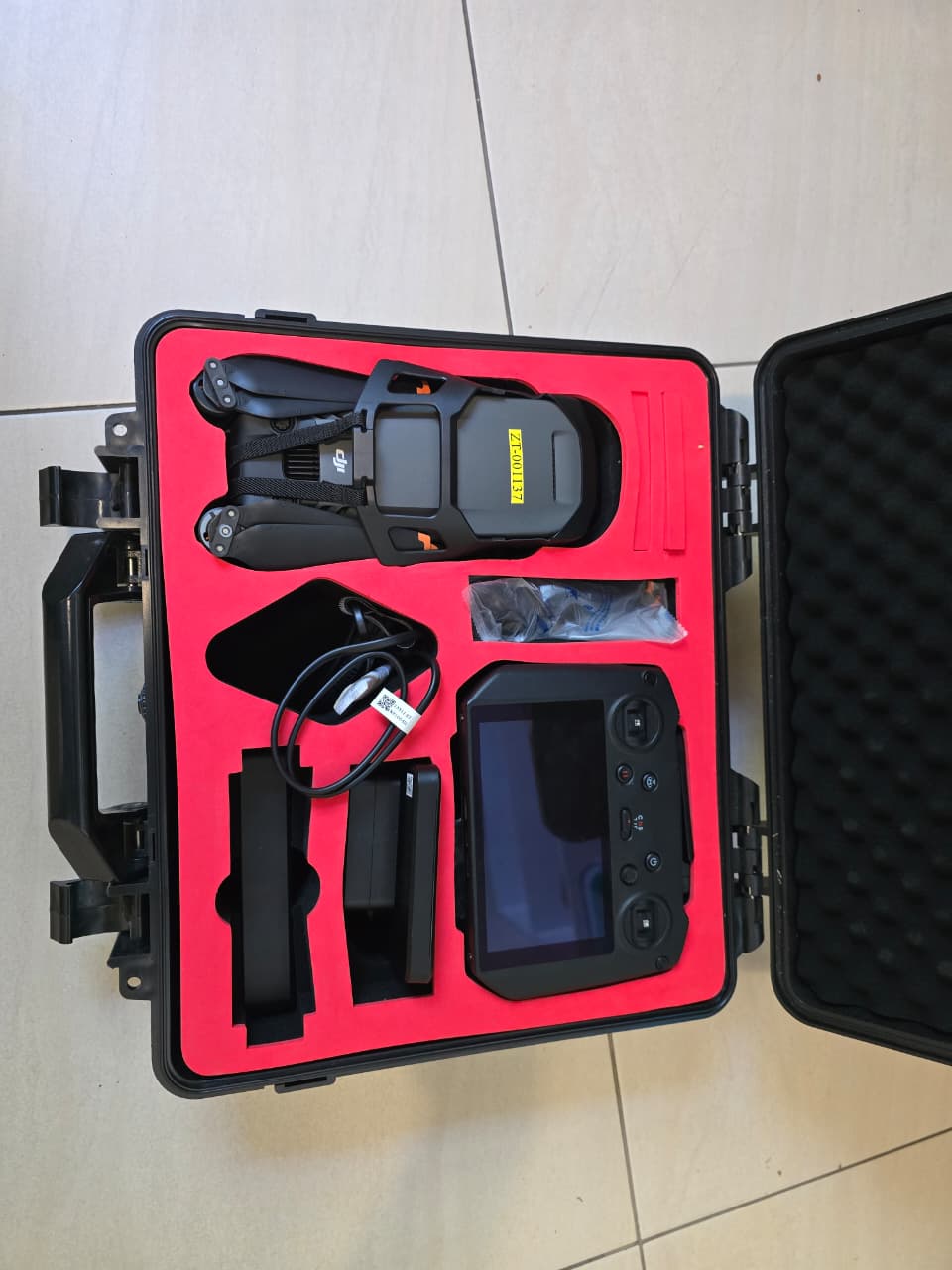
- DJI Matrice 4E (RTK)Our enterprise-grade workhorse. Equipped with RTK technology, it delivers centimeter-level positional accuracy without the need for extensive ground control points.High-Precision Mapping | 3D Modeling
- DJI Mavic 3 ProFeaturing a triple-camera system, providing multi-focal lengths for detailed inspections and high-resolution site documentation from unique perspectives.
GNSS & Ground Truth
- Emlid Reach RS3 & RS2+Our high-precision GNSS setup. We utilize the RS2+ as a stable base station and the RS3 as an IMU-enabled tilt rover. This combo ensures all aerial data is perfectly anchored to local coordinates with absolute precision.
- Ground Control & SafetyWe utilize professional-grade GCPs (Ground Control Points) and full safety equipment to ensure every mission is compliant, secure, and verifiable.
Conventional Surveying
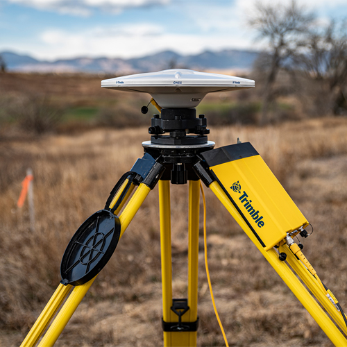
- Trimble R750 & R780 GNSSEnterprise-grade modular GNSS systems. The R750 Base and R780 Rover provide unmatched tracking performance and flexibility for demanding field conditions.
- Trimble TSC7 & SCS900Powered by the rugged TSC7 controller running Trimble SCS900 and Siteworks. This combination delivers efficient site positioning, staking, and grade checking.
- Analysis & QuantificationSite modelling and bulk earthworks quantification are executed with precision using Civil Designer 9.1, ensuring accurate volume calculations and road design.
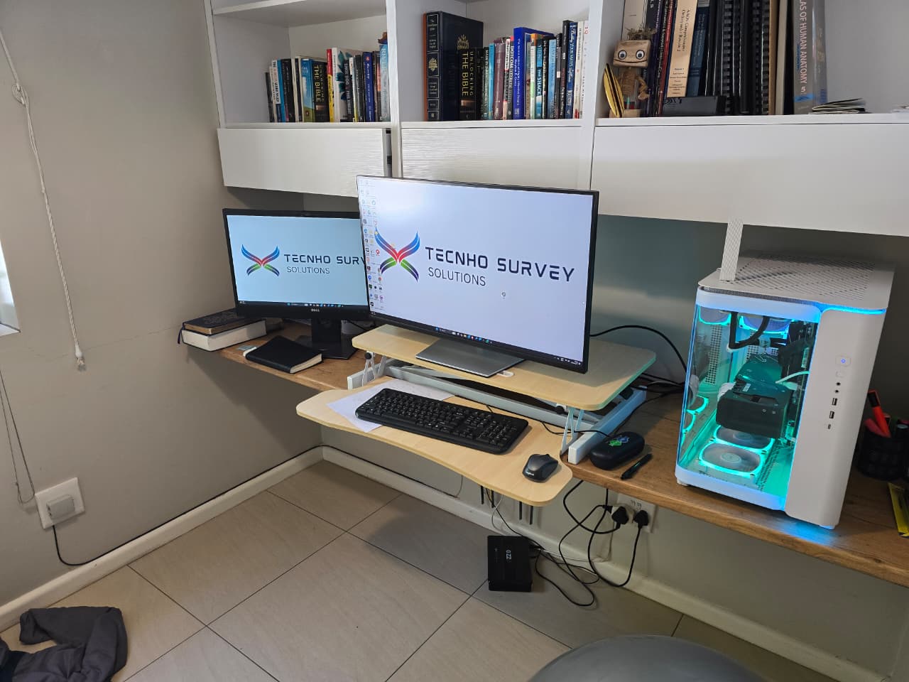
Data Processing Workstation
Raw aerial data is only as good as the hardware that processes it. Our dedicated mapping workstation is a high-performance processing rig designed to handle massive high-resolution point clouds and complex 3D reconstructions with zero compromise.
High-Performance Workstation: AMD Ryzen 9 7900X (12-Core), 64GB RAM, RTX 3080 12GB
Fully Licensed & Compliant
We operate in strict compliance with the South African Civil Aviation Authority (SACAA) regulations. Safety and legality are the foundations of our aerial operations.
- Operating Certificate (ROC)SACAA.UASOC.0001.2004/G1240D
- Company Registration2005/102274/23
"Our commitment to compliance ensures that every survey we conduct is fully insured, legal, and adheres to the highest industry safety standards."
Techno Survey Solutions
Professional Surveying Team
Hardware in Focus
.jpeg)
DJI Matrice 4E - Our primary high-precision RTK surveying drone.
DJI Mavic 3 Pro - Multi-camera system for versatile site inspections.
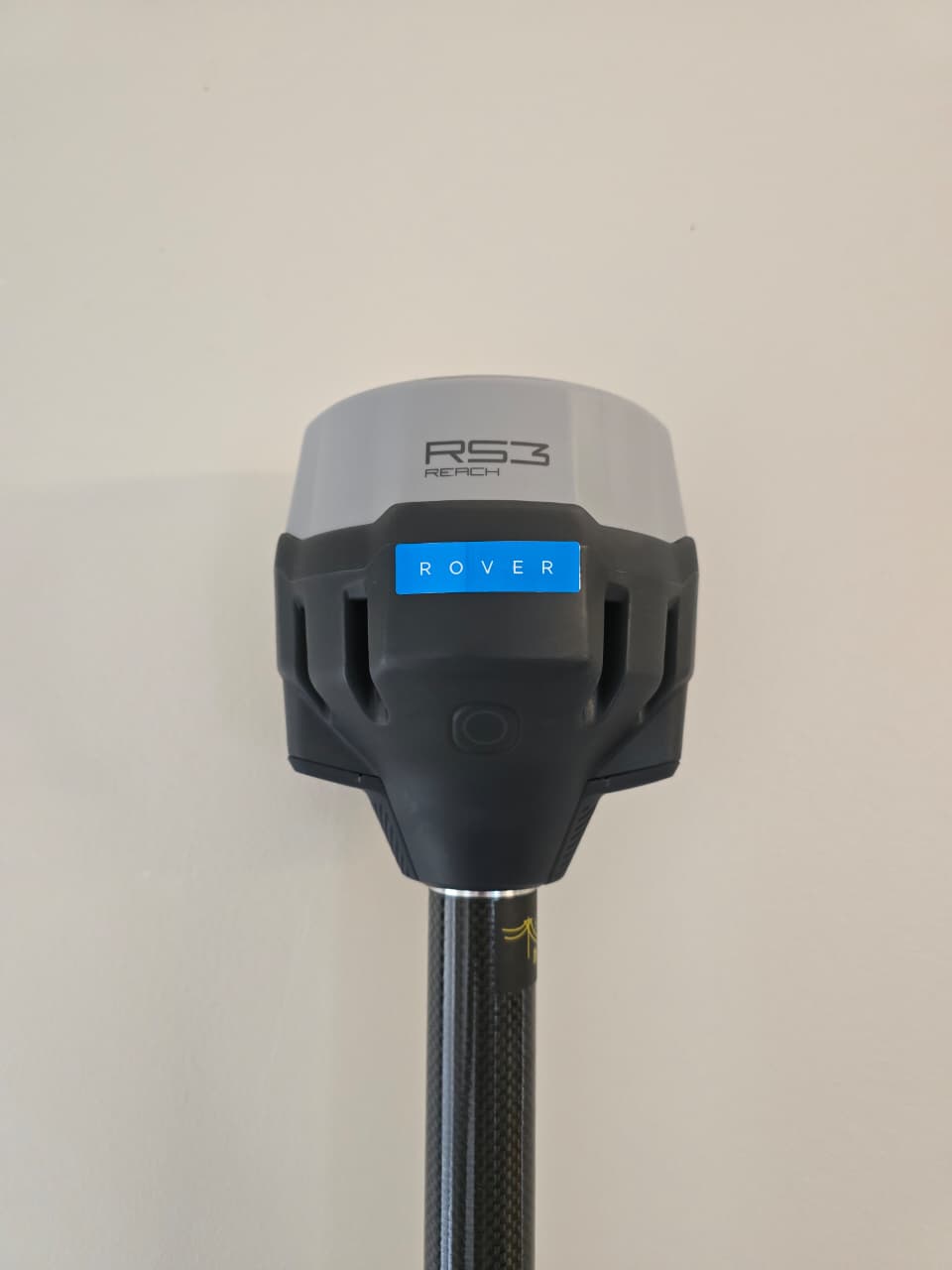
Emlid Reach RS3 - Precision GNSS Rover with IMU for centimeter-level ground truth.
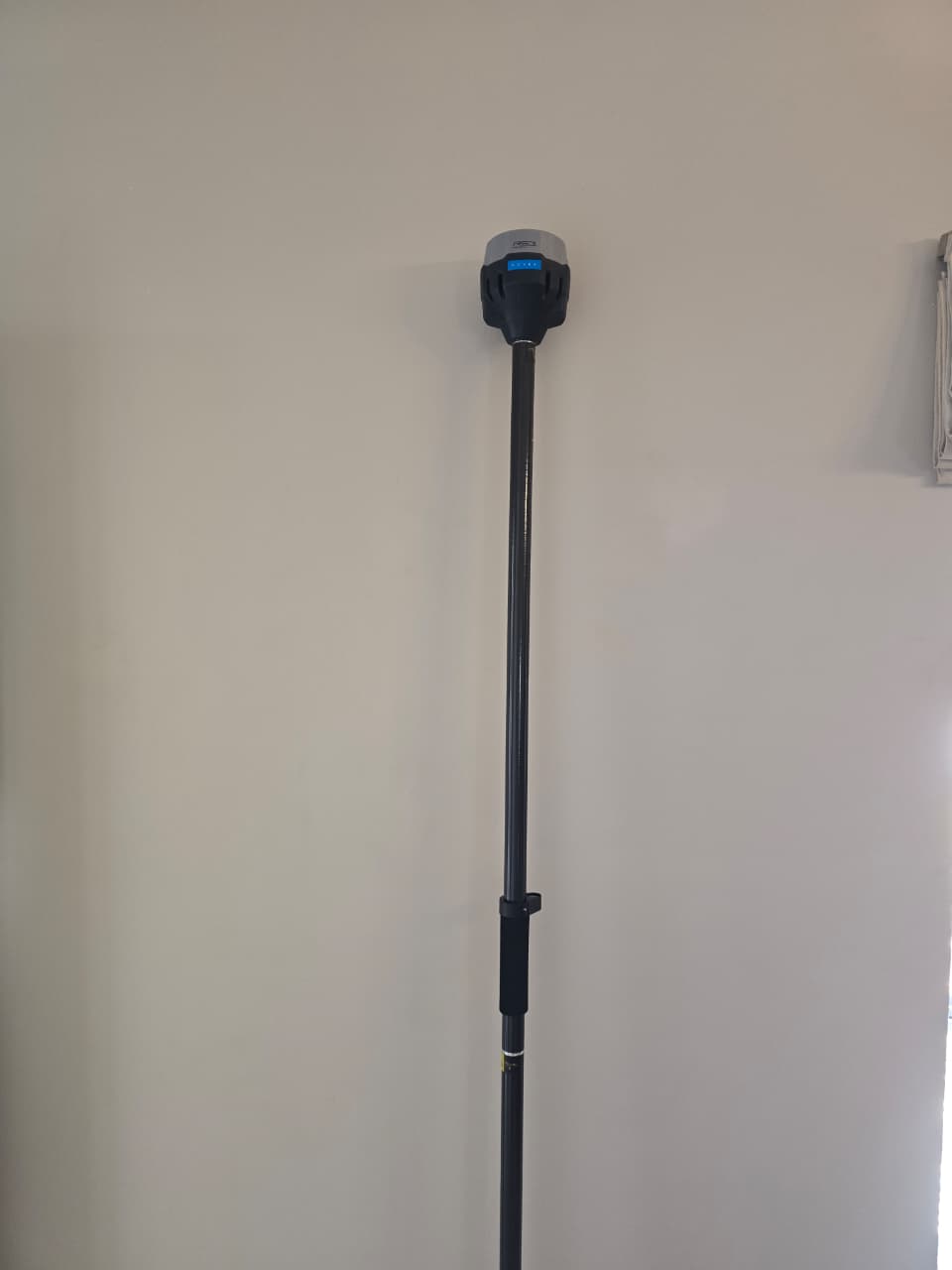
Emlid Reach RS3 in Field - Deployed with professional pole and safety equipment.
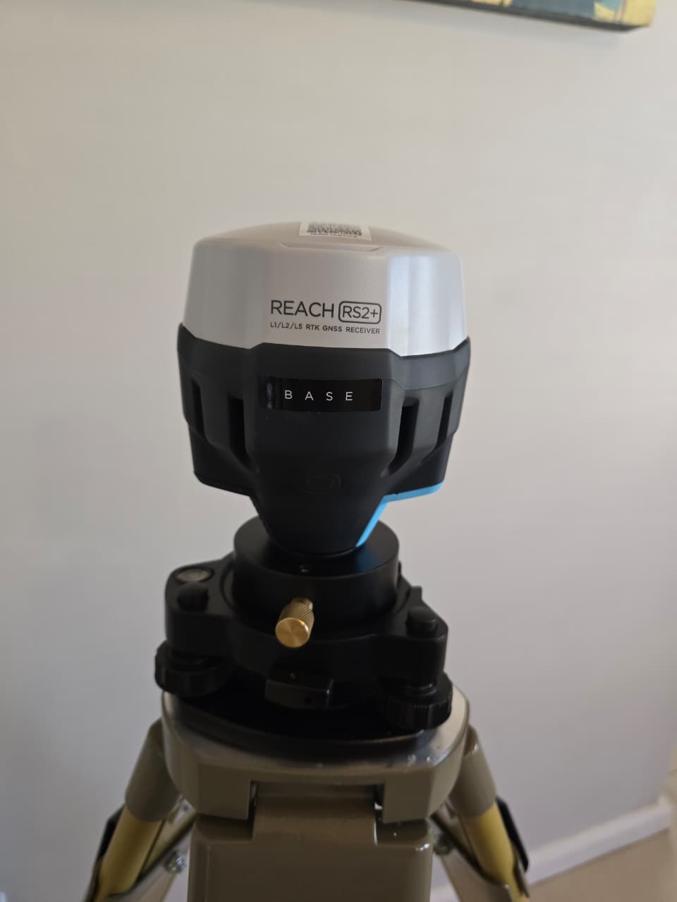
Emlid RS2+ - Reliable base station for real-time RTK corrections.
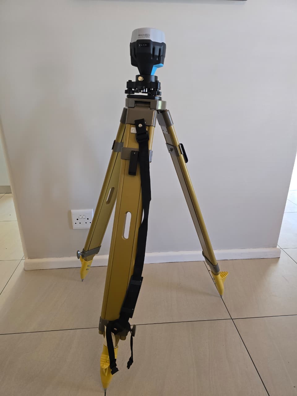
Emlid RS2+ - Field-ready base station setup with accessories.
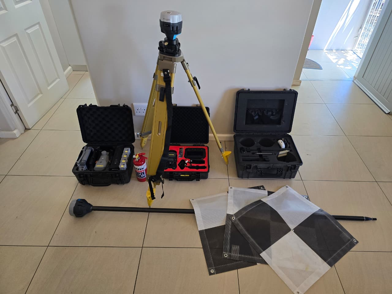
Integrated Field Setup - Base and Rover working in tandem.
The Rig - Our high-spec processing workstation for heavy photogrammetry.
Trimble R750 Base - Modular GNSS system for reliable reference station setup.
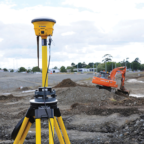
Trimble R780 - Ultra-rugged GNSS Smart Antenna for precise positioning.
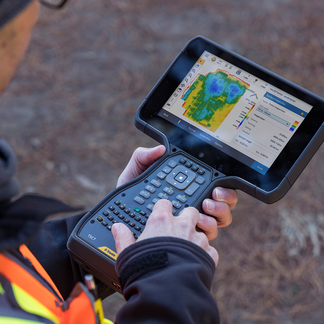
Trimble TSC7 - Field controller running SCS900 and Siteworks for complete site control.
Trimble SCS900/Siteworks - Advanced site positioning software for construction workflows.
See Our Tech in Action?
Experience how we leverage this hardware to deliver results on complex infrastructure projects.