
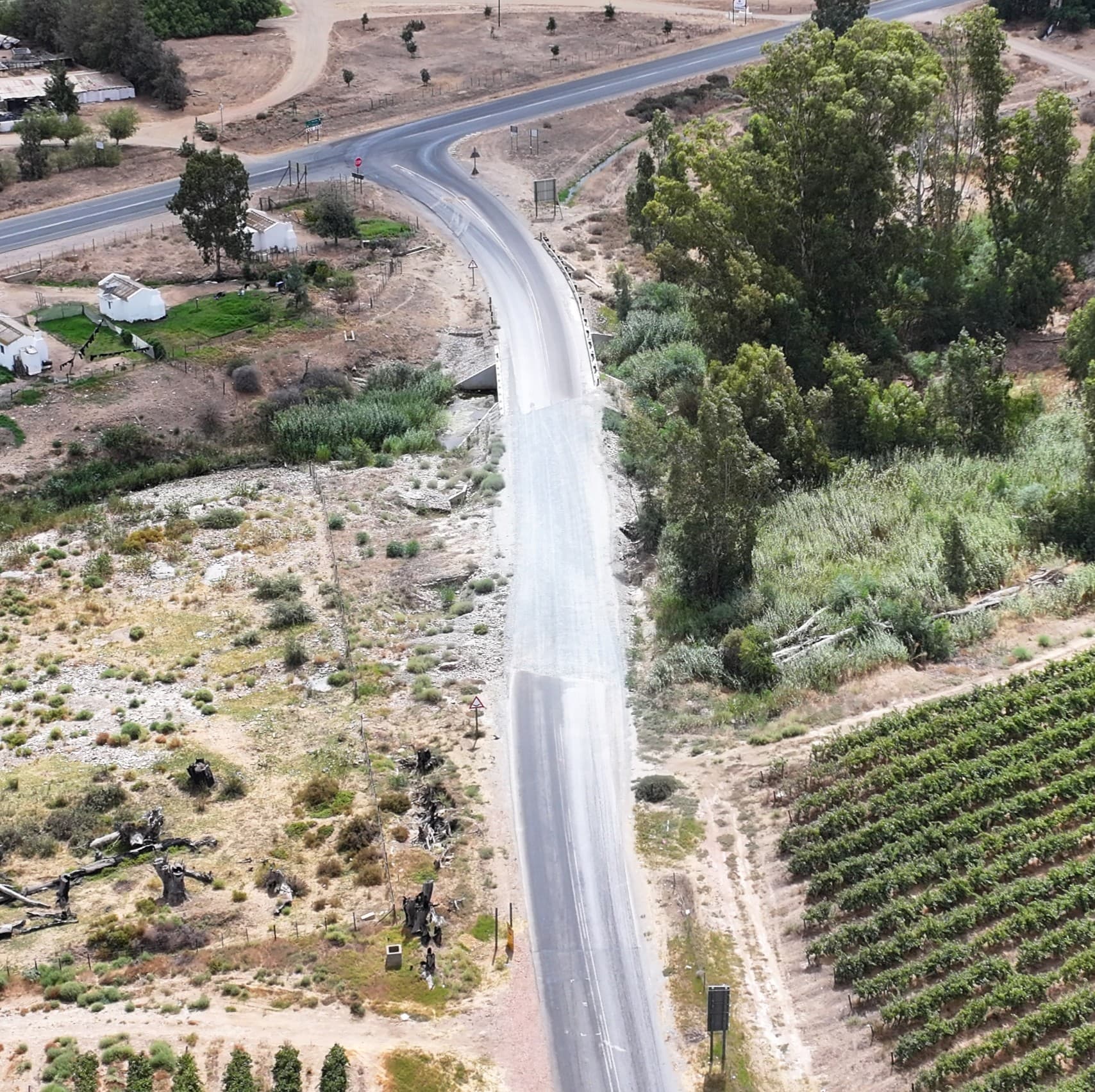
See where the block is underperforming, and where the water goes, before the season is lost.
An up-to-date farm map with blocks, roads, water and drainage lines, a crop-health map that shows stress block by block, and the same flight repeated each season so you can compare. Decisions for you and your agronomist, not a folder of drone photos.
No payment online — you get a price now, we confirm scope and a date within one working day.
What you get
Everything is delivered digitally by secure download link, with an online viewer you can share.
Farm map with blocks, roads, water and firebreaks
A georeferenced orthophoto of the whole farm with the boundaries and blocks marked, printable and in an online viewer you can share with staff, insurers and the bank. Areas measured per block.
Drainage lines and low points
A terrain model of the farm with the drainage lines drawn in: where water accumulates after rain, where it runs off and erodes, and which blocks sit wet. Contours and a DWG pack for irrigation design on request.
Crop-health map, block by block
Multispectral NDVI / NDRE map with a zonal stress report per block: which areas are underperforming and by how much, so field investigation starts in the right place. Interpretation stays with your agronomist; we give them the map.
Season-to-season comparison
The same flight, four times a year, archived. Compare this season with the last one, measure what changed, and keep a record for the farm's management and valuation.
We map and measure. We do not spray, spread, or sell inputs, and we do not replace your agronomist.
Who uses this
Farm managers
One map of the whole farm that is actually current, with the areas, roads and water on it.
Agronomists and consultants
Multispectral maps and zonal reports delivered in the formats your software reads, flown on your schedule.
Irrigation and drainage designers
Terrain model, contours and DWG for the design, with drainage lines already identified.
Owners, insurers and valuers
A dated, georeferenced record of the farm, its blocks and its infrastructure.
How it works
- 1
Trace the farm, pick a package
Outline the farm or the blocks you need on the satellite map and see the price with travel included. Request a date; no payment yet.
- 2
We fly it in a morning
A SACAA-licensed crew flies a planned route with RTK positioning. Nobody has to stop working and nothing is sprayed or spread.
- 3
Maps in 3–5 working days
Farm map, drainage lines, crop-health map and reports land in your online viewer and as files for your agronomist.
Prices for a farm near Worcester, travel included
Excluding VAT. The online tool prices your exact farm; larger farms and estates are quoted within a working day.
Questions we get asked
Know your farm block by block.
Trace the farm and see a price in a minute, or WhatsApp us the location and we will come back within the hour on a working day.
- SACAA licensed & insured
- Based in Worcester, Western Cape
- No payment until scope is confirmed