
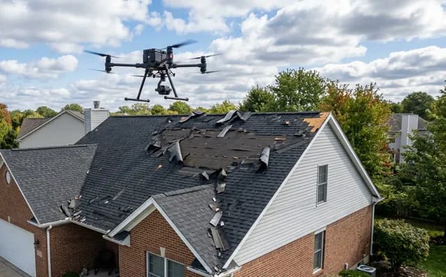
Every valley, flashing and junction on your roof, photographed at 2 mm detail — no scaffolding, no roof access.
48-megapixel close-ups on a 70 mm lens, a stitched top-down image of the whole roof and 4K video, delivered in 3–5 working days. From R2 950 per roof, priced online in a minute.
No payment online — you get a price now, we confirm scope and a date within one working day.
What you get
Everything is delivered digitally by secure download link, with an online viewer you can share.
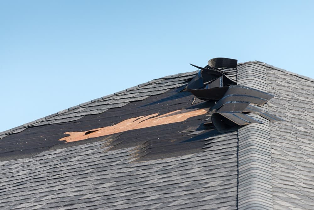
Close-ups of every junction
Valleys, ridges, hips, flashings, parapets, chimneys, gutters and downpipe heads, each from at least two angles on the 70 mm telephoto lens. Sharp enough to see cracked tiles, lifted flashings and debris. GPS-tagged and sorted per roof section.
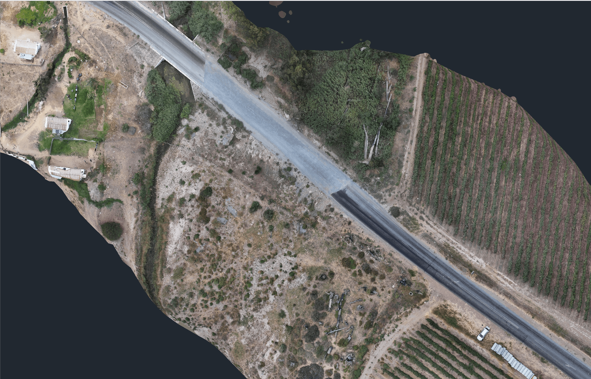
One image of the whole roof
A stitched, georeferenced top-down orthophoto at about 7 mm per pixel, plus oblique overview photos from all four sides, so every close-up can be placed on the plan.
4K video
A smooth orbit of the building and a slow pass along each valley and ridge line, for anyone who wasn't on site.
Flight & coverage report
Flight date and conditions, a map of exactly where each photo was taken, the resolution achieved, and any spots we couldn't capture (trees, lines). Optional: a measurable 3D model of the building from the same flight.
We are drone surveyors, not roofing inspectors. We capture the roof at a quality your roofer, engineer, body corporate or insurer can assess from — we don't give an opinion on its condition.
Who uses this
Body corporates & trustees
Document a block's roofs before a levy decision or maintenance tender, with the same photo positions every year.
Insurers & assessors
Timestamped, GPS-tagged imagery for storm and hail claims, without putting anyone on a ladder.
Schools, heritage & public buildings
Non-contact survey of old or fragile roofs for maintenance specifications and restoration tenders.
Solar & commercial roofs
Panel arrays, warehouse sheeting, gutters and flashings covered in one flight, repeatable after repairs.
How it works
- 1
Price it online
Drop a pin on the building, say how many roofs, and see the price with travel included. Leave your details to request a date — no payment yet.
- 2
We fly a planned mission
We confirm airspace and scope, then fly a saved waypoint route around the roof so the photos are consistent and can be repeated later for comparison.
- 3
Files in 3–5 working days
Secure download link with the sorted photos, the top-down image, the video and the coverage report. Hand it straight to your contractor.
Straightforward prices, travel included within 40 km of Worcester
Excluding VAT. Further afield is priced by road distance at the AA rate — the online tool shows it for your exact address.
Questions we get asked
See your roof properly, without anyone climbing on it.
Get a price in under a minute, or send us the address on WhatsApp and we'll come back within the hour on a working day.
- SACAA licensed & insured
- Based in Worcester, Western Cape
- No payment until scope is confirmed