Drone Surveying & Aerial Mapping · South Africa
Precision aerial data for construction, mining & infrastructure.
We turn complex sites into accurate digital assets — orthomosaics, point clouds, volume calculations, and 3D models — using RTK drone technology. SACAA licensed, based in Worcester, Western Cape.
Instant estimate online — a formal quote follows after a quick scope review.
Trusted by industry leaders



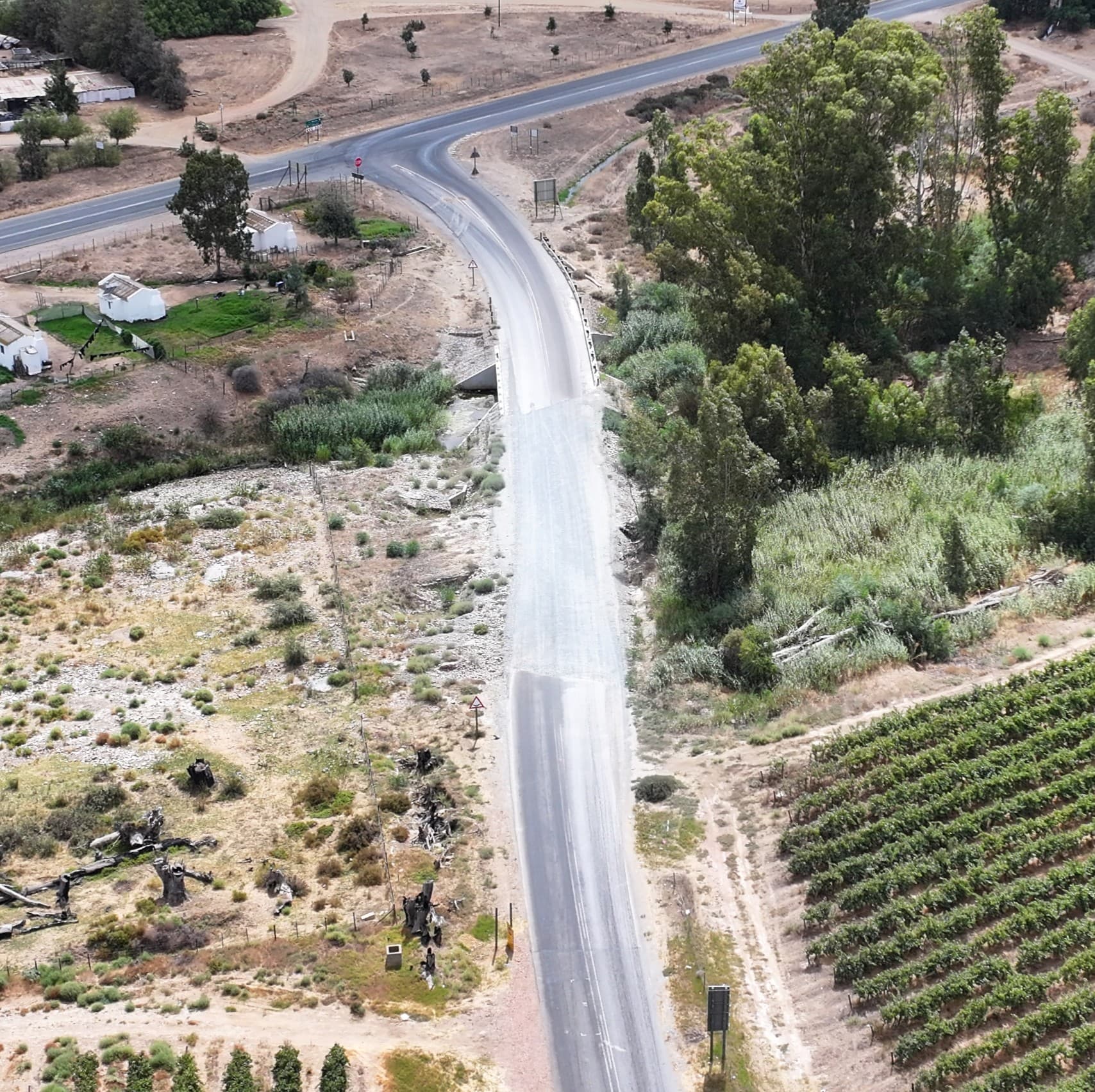
What we deliver
Every deliverable is survey-grade, georeferenced, and ready to drop into your CAD, GIS, or BIM workflow.
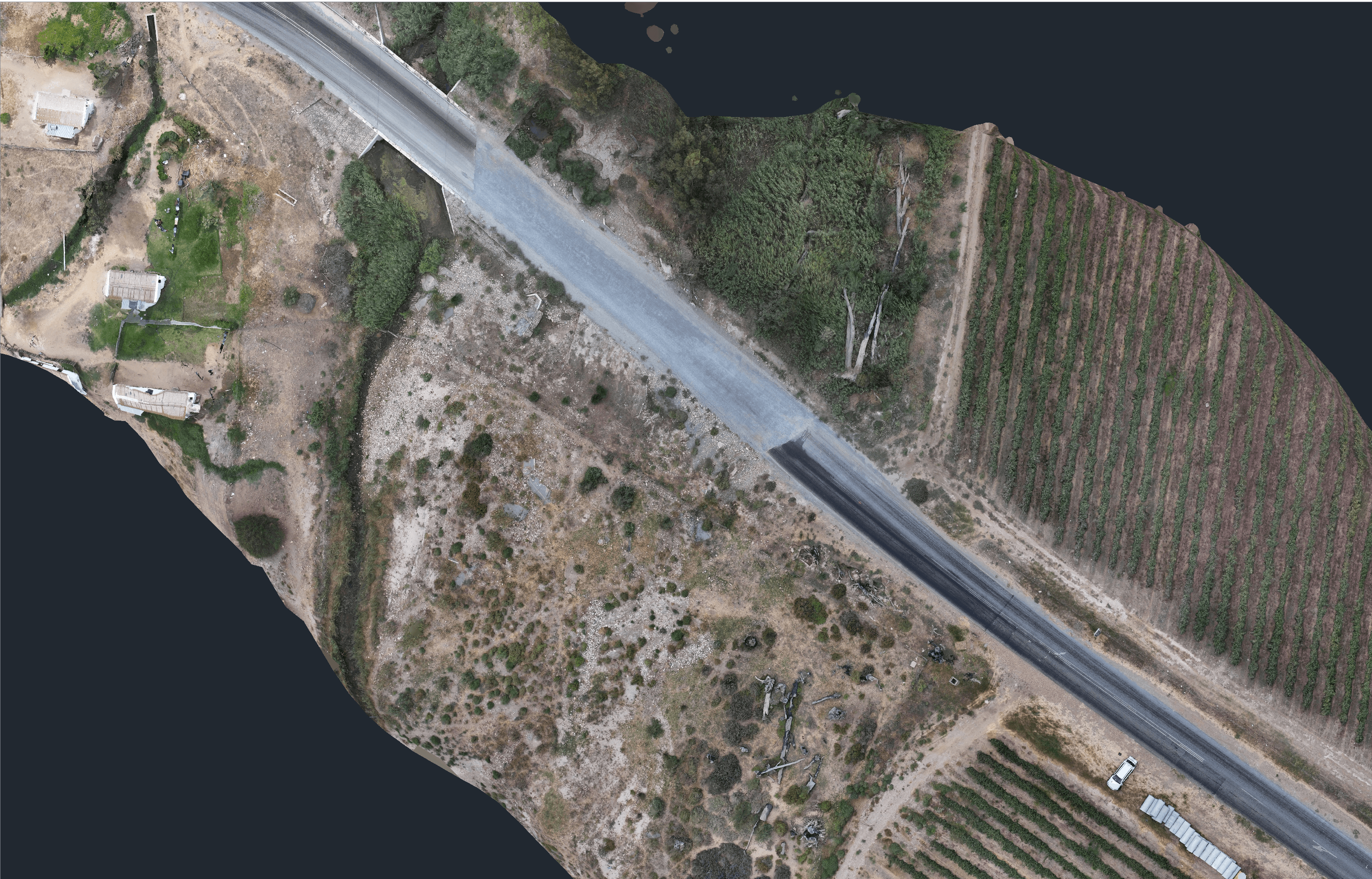
Orthomosaic Mapping
High-resolution, georeferenced aerial maps of your entire site — distortion-free and survey-grade.
Learn more →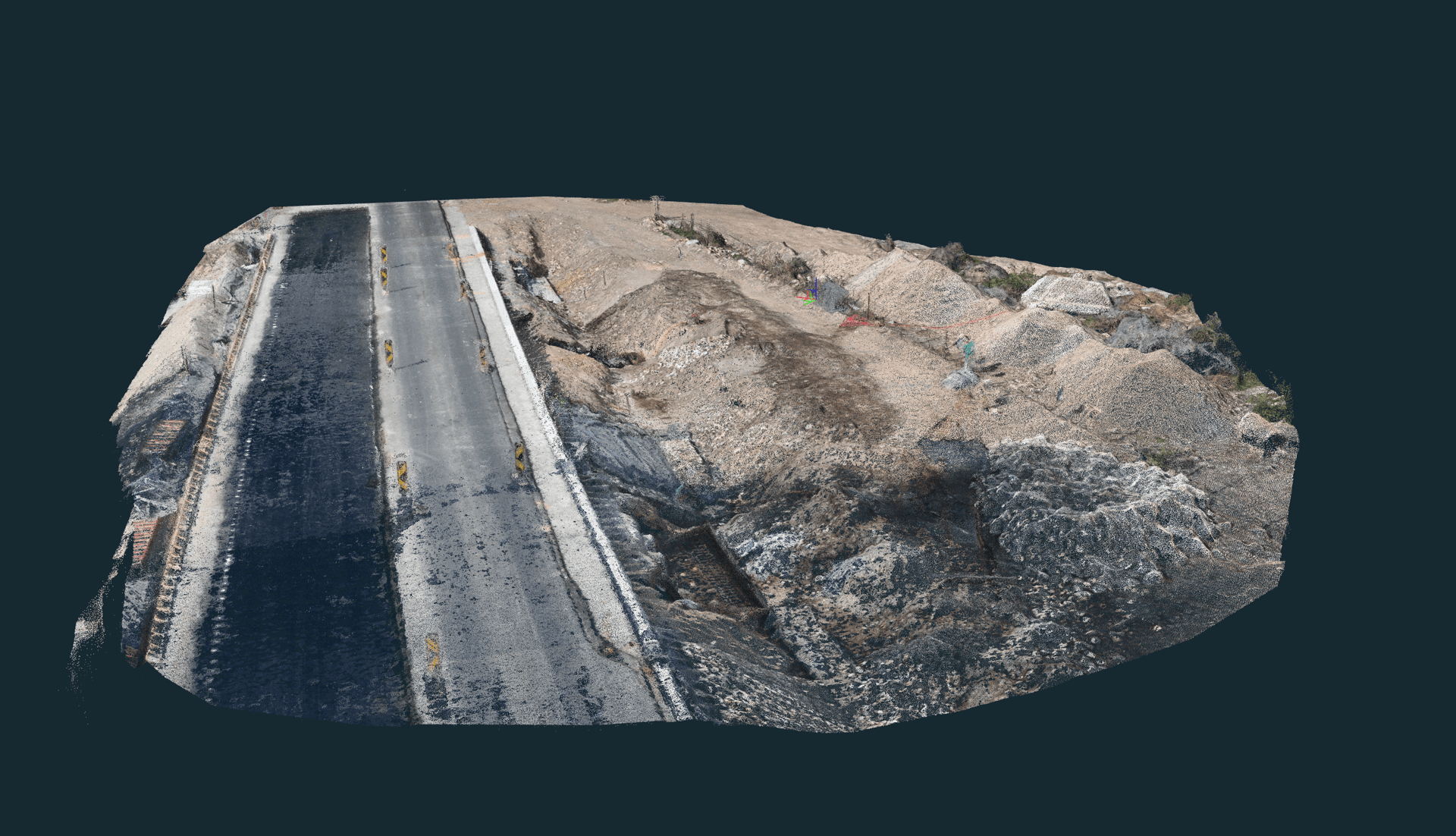
Point Cloud Surveys
Dense 3D point clouds (LAS/LAZ) for measurement, design, and CAD/BIM integration.
Learn more →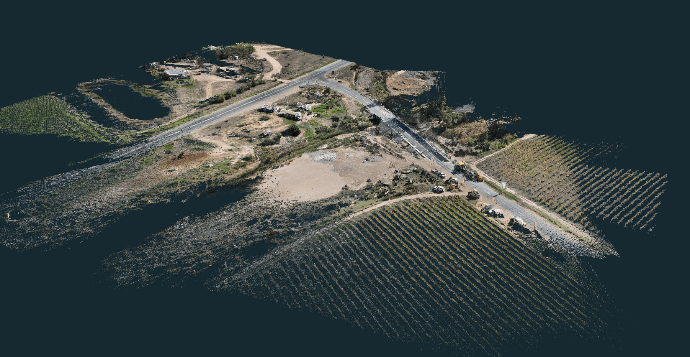
3D Digital Models
Photorealistic textured 3D meshes for visualisation, planning, and stakeholder presentations.
Learn more →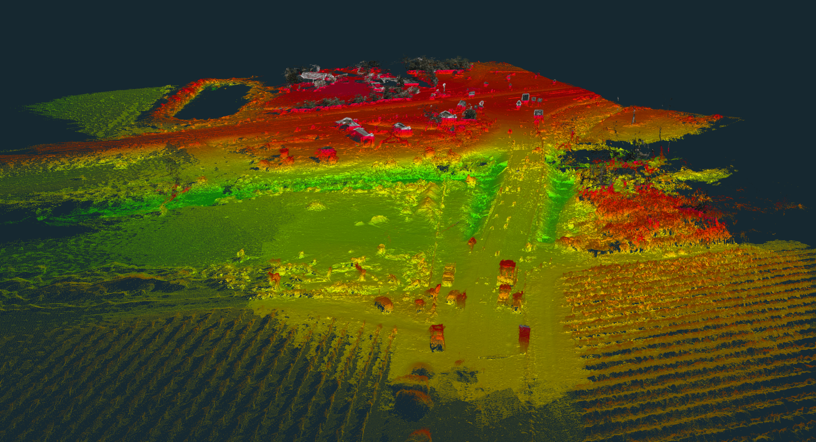
Topographic Surveys
DSM, DTM, and contour line maps for design, drainage, and engineering workflows.
Learn more →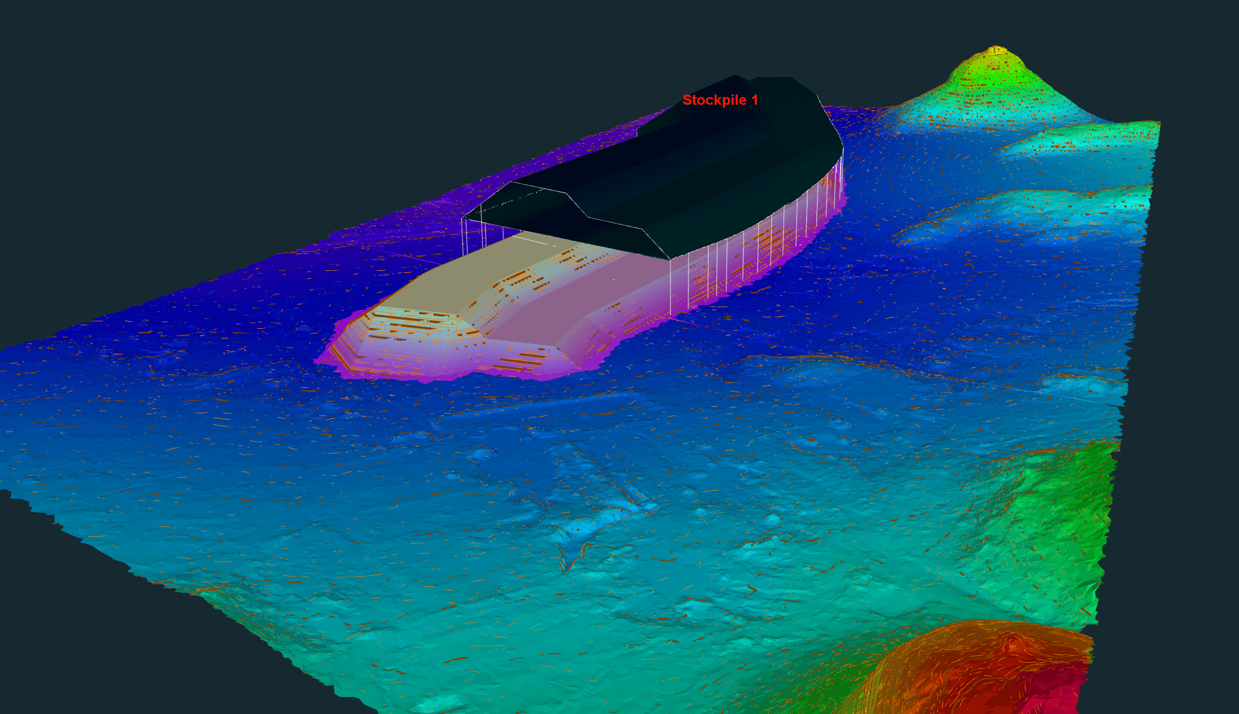
Volume Calculations
Earthworks, stockpile, and cut/fill volumes — ideal for quantity verification and disputes.
Learn more →Progress Tracking
Scheduled aerial photography, 4K video, and orthomosaics to document construction progress over time.
Learn more →How a drone survey works
A typical project takes one to five working days from booking to deliverables, depending on site size and the data you need.
01
Scope & Quote
Use our online estimator or send site coordinates. We confirm scope and issue a formal quote.
02
Plan & Permit
Flight plans, airspace clearance, and ground control points are prepared. SACAA compliance handled by us.
03
Field Capture
RTK drone flights collect imagery and ground truth. Typically one to two days on site.
04
Process & Deliver
Data is processed into orthomosaics, point clouds, and reports. Delivered via secure link or your portal.
Industries we serve
We support teams across the built environment with accurate, repeatable aerial data.
Why choose Techno Survey Solutions
SACAA Licensed
Fully licensed Remote Operator Certificate (ROC: SACAA.UASOC.0001.2004/G1240D). Compliant, insured, and audit-ready.
Survey-Grade Accuracy
RTK-corrected flights with GCPs achieve 1–3 cm horizontal and 2–5 cm vertical accuracy.
Fast Turnaround
Most deliverables ready within 3–5 working days of field capture. Rush options available.
Nationwide Coverage
Based in Worcester, Western Cape. We mobilise to projects across South Africa — from Cape Town to Pretoria.
Recent project work
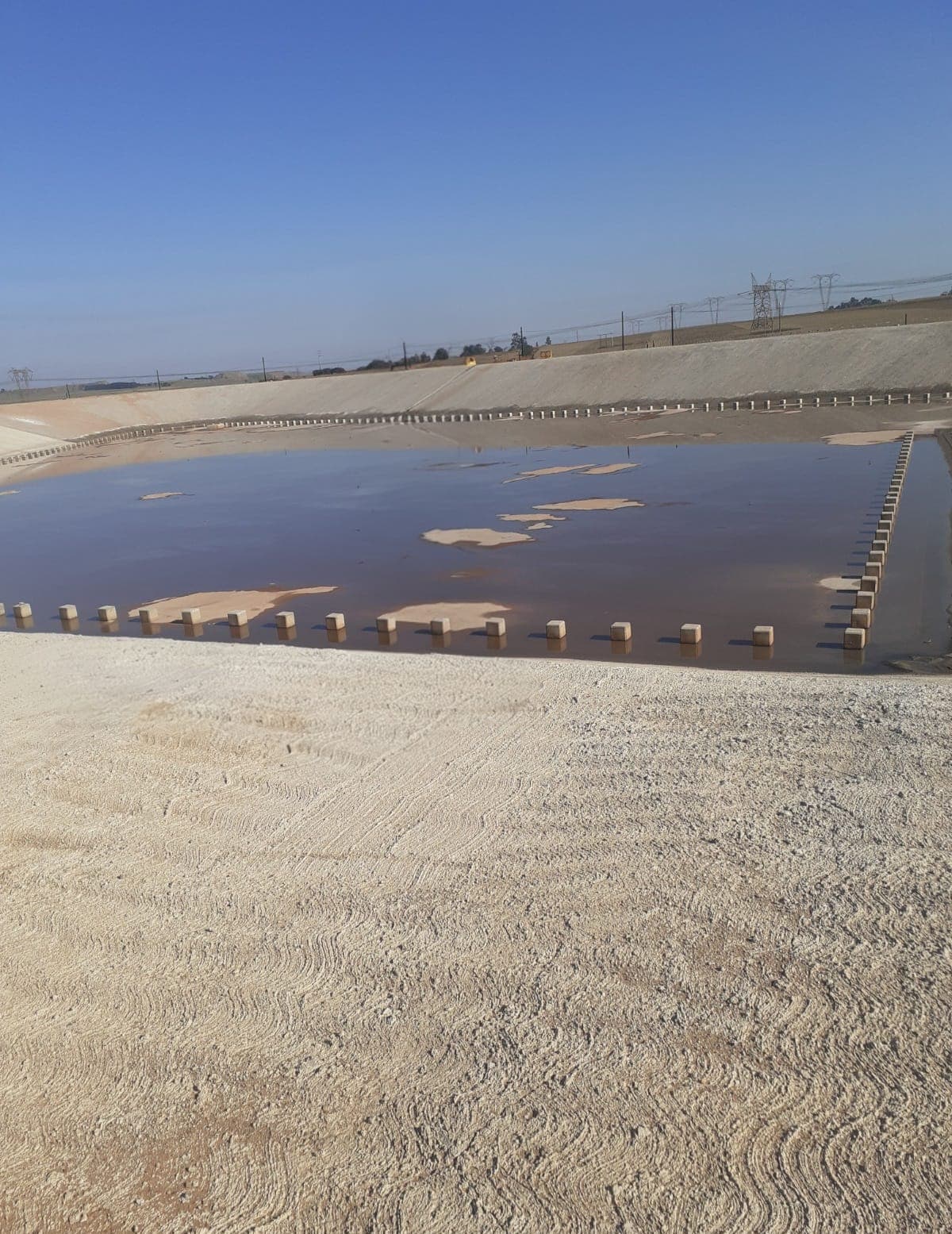
A look at sites we've mapped and the deliverables produced.
Ready to get a survey started?
Get an instant estimate in under two minutes. No obligation — a formal quote follows after a scope review.