
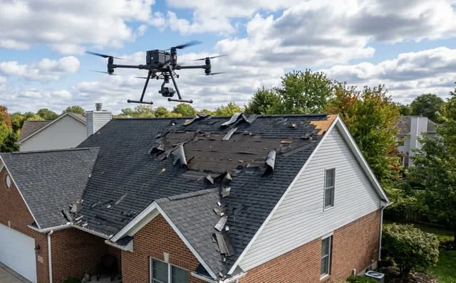
Storm damaged your roof?
Get insurance-ready drone photos without anyone climbing up.
High-resolution aerial photos and 4K video of your damage, packaged for your insurer. On site in 24 hours in Worcester / 48 hours in Cape Town. SACAA-licensed pilots. No ladders, no risk to you.
- SACAA licensed (ROC: UASOC.0001.2004)
- Same-week response
- Insurer-accepted footage
Your insurer needs evidence — we package it
What you get back from a flight
Everything below is emailed to you (and your broker if you forward us their address) within 24 hours of the flight.
High-resolution aerial photos
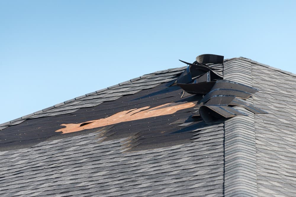
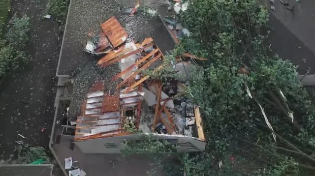
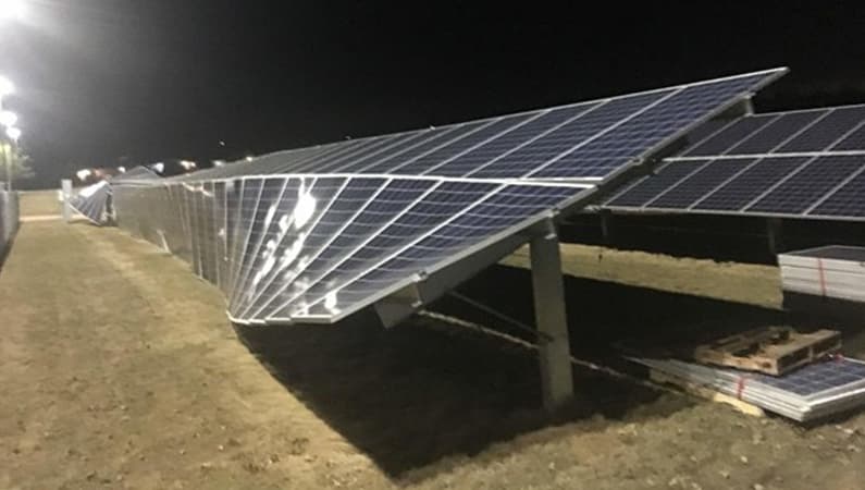
Multiple angles of every damaged roof section, fallen trees, broken solar panels, lifted tiles. Print or attach straight to your claim.
4K video flythrough
A short walkthrough video that gives your assessor the full picture of the property in one go — better than 50 stills.
GPS-tagged + timestamped
Every photo has location and time embedded in the file. Removes any doubt about when and where the damage was photographed.
Branded PDF report
One clean document your broker can submit. Property address, flight date, pilot details, and every photo organised by area.
Example footage from recent jobs
Why a drone, not a ladder
You don't need to risk a fall to document what the wind did.
Safer for you
Wet, wind-damaged roofs are exactly what people fall off. A drone lifts a camera over the whole property in ten minutes.
Whole property at once
Hidden valleys, the back of chimneys, the awkward dormer above the patio — all photographed without anyone setting foot on the tiles.
Stronger insurance evidence
Assessors quietly prefer aerial documentation: it's hard to argue with high-res photos that timestamp themselves and cover everything.
How it works
From WhatsApp to packaged report in three steps.
No site visit to discuss it first, no quote drama. The bulk of the work is just us flying and you forwarding the result to your broker.
- 1
WhatsApp us a photo
Send one phone-photo of the damage and your property address. Takes 30 seconds. We reply with a price and an arrival window.
- 2
We fly, you stay clear
Pilot on site within 24h (Worcester) or 48h (Cape Town & wider Western Cape). The flight itself is usually 15–30 minutes.
- 3
Report in your inbox
Photos, video, and a branded PDF emailed to you (and your broker if you want) within a day of the flight.
Got a claim deadline ticking?
Most insurers want documentation submitted within 14 days of the event. WhatsApp us now and we'll book a flight slot.
Areas we're flying right now
Western Cape coverage
24-hour response
Same-day or next-day on-site for the Breede Valley:
- Worcester
- De Doorns
- Rawsonville
- Touws River
- Robertson
- Bonnievale
- McGregor
- Ashton
48-hour response
Within two working days for greater Cape Town & the Cape Winelands:
- Cape Town CBD
- Southern Suburbs
- Northern Suburbs
- Atlantic Seaboard
- Stellenbosch
- Paarl
- Franschhoek
- Wellington
- Somerset West
- Strand
Outside these areas? WhatsApp us anyway — we travel and quote per distance.
The questions everyone asks first
Quick answers
Will my insurance company actually accept drone footage?+
How quickly can you actually be on site?+
How much does it cost?+
Is my property safe to fly over? What about no-fly zones?+
Do I need to be home for the flight?+
What if it's still raining or windy when you arrive?+
Don't let the claim deadline pass.
Send us a photo on WhatsApp now — we'll come back with a price and a flight time within the hour during business hours.
Techno Survey Solutions — SACAA-licensed Remote Operator (ROC: UASOC.0001.2004 / G1240D). Operating Western Cape, South Africa. Footage is delivered for the property owner's use with their insurer; we do not advise on policy terms. About us.